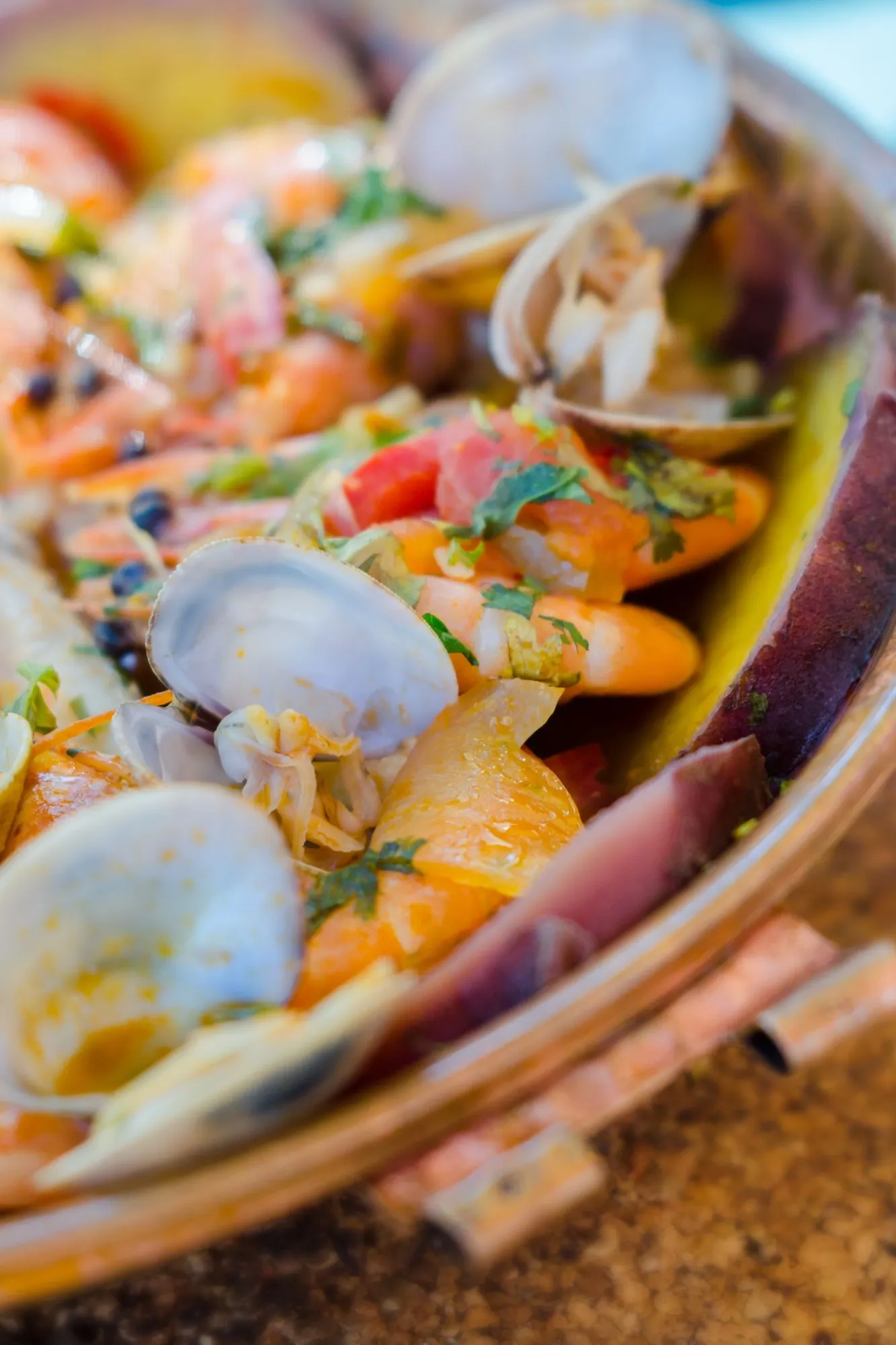
Ria Formosa is vast beyond what one day can encompass, and we are well aware of that. The aim isn’t to traverse the more than 17,000 protected hectares, but to admire its uniqueness – it is the largest wetland in southern Portugal – to soak up its seafaring culture (and its beaches) and leave the Algarve with a very good taste in our mouths, the taste of seafood preferably.
Ria Formosa Natural Park
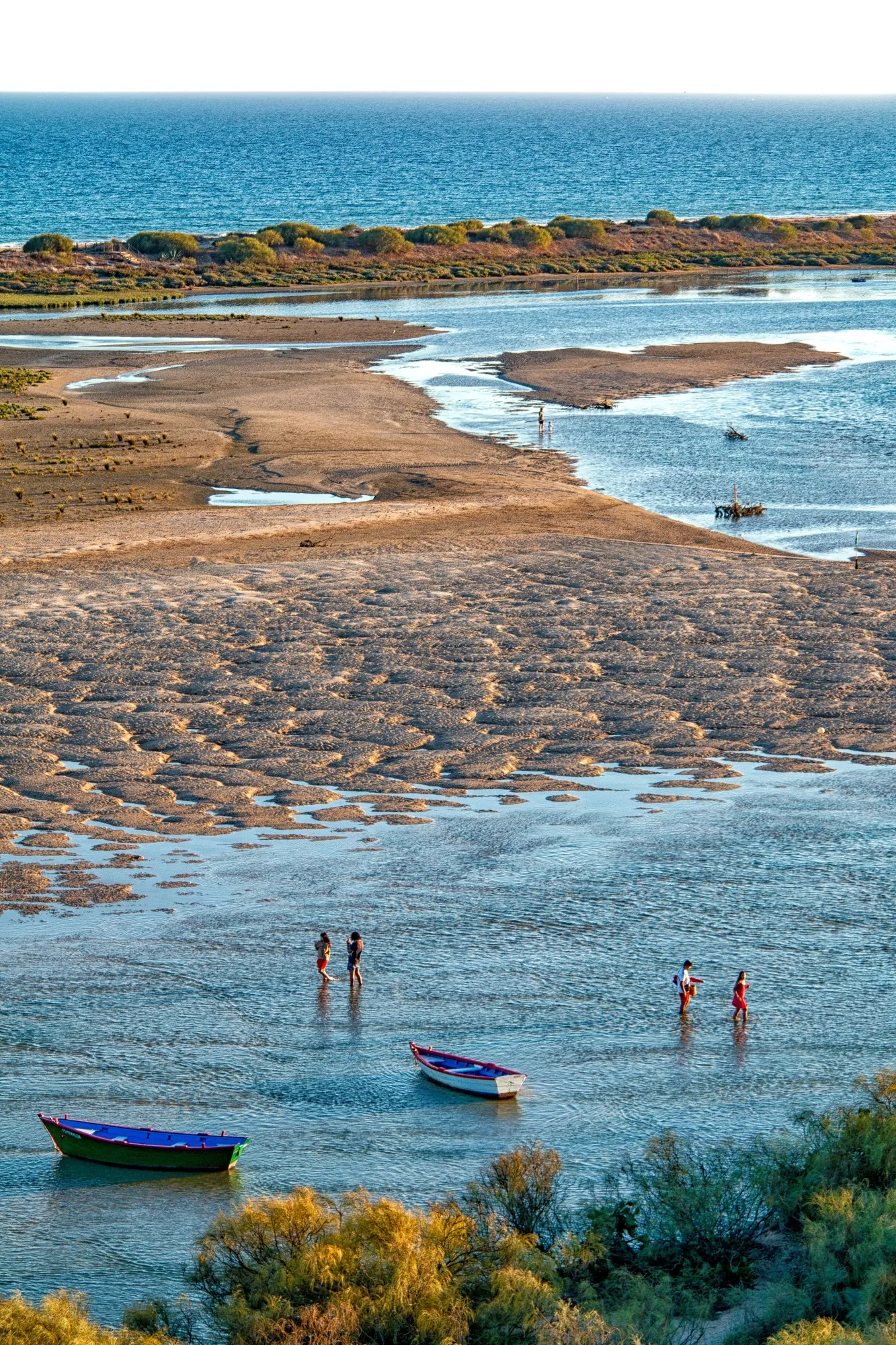
To move about like a fish in the water (we’re referring to the flounder, the sea bass, and the eel) within the Ria Formosa Natural Park, the first thing to understand is its topography. Because in this dynamic lagoon system, made up of a wide variety of habitats, land and sea constantly blend into one another. Live to the rhythm of the tides: with low tide, its bottoms emerge revealing an immense mudflat and sandbanks; with high tide, it becomes a crystal-clear sanctuary, sustained almost exclusively by saltwater, where migratory species find refuge. It is also home to one of the planet’s most important seahorse communities.
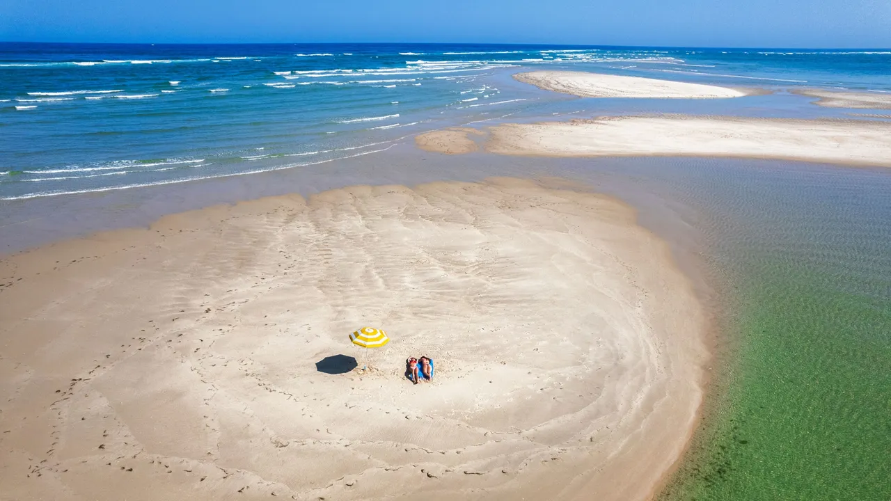
Under a sky that boasts more than 3,000 hours of sunshine per year and a climate with a gentle subtropical transition, this geographic whim unfolds from Ancão to Manta Rota, protected from the Atlantic Ocean by a sandy dune barrier consisting of two peninsulas, Cacela to the east and Ancão to the west, and five barrier islands: Cabanas, Tavira, Armona, Culatra, and Barreta. It is for this reason that geography dictates the rules of the journey: to conquer some of them with your towel as a flag you will have to take a ferry or a water taxi.