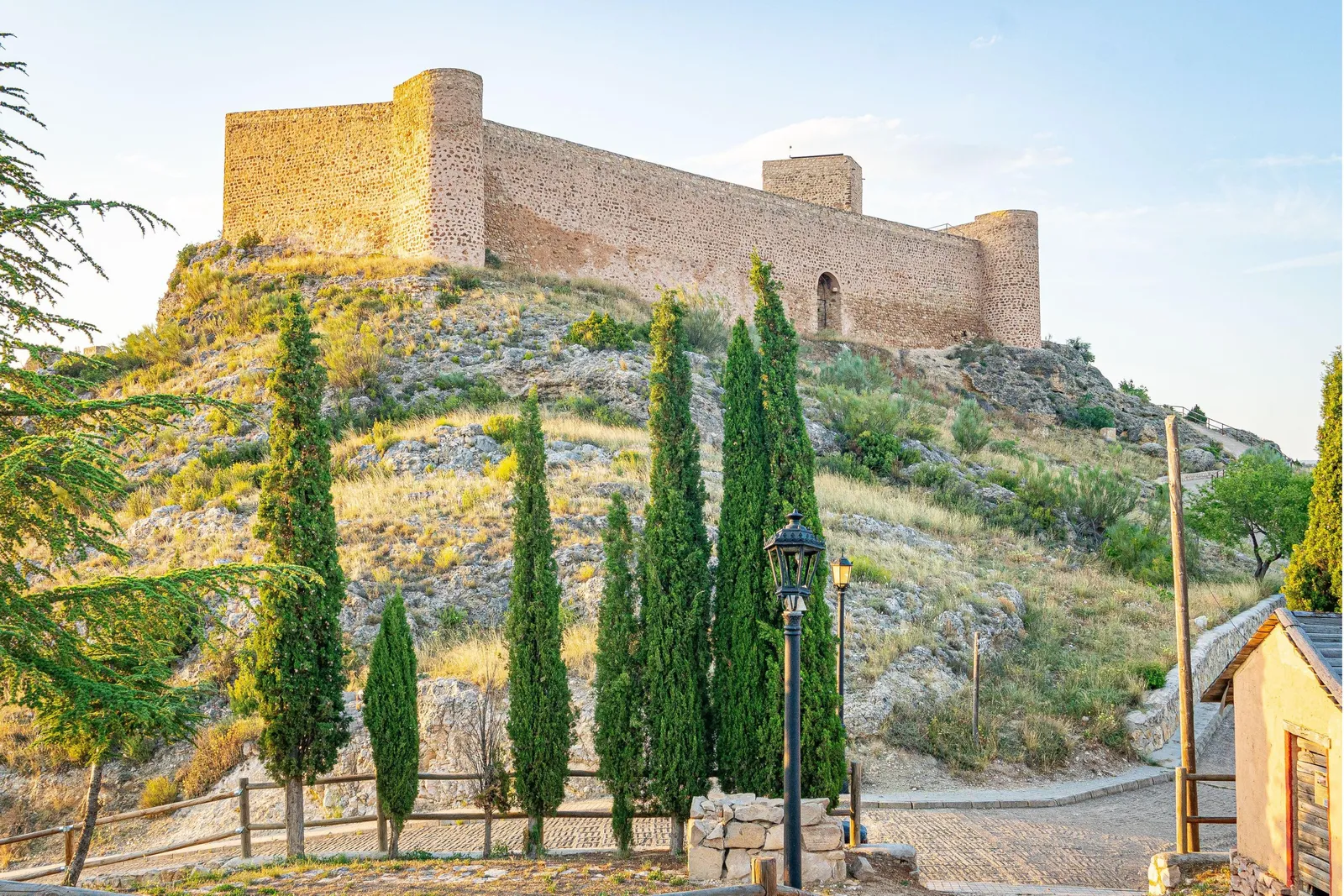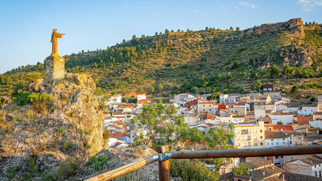
There’s a place between Cuenca and Albacete that breaks with our usual notions of the typical image that often comes to mind when thinking of Castilla-La Mancha. We reach Enguídanos, a municipality in the Cuenca mountains that has become one of the major benchmarks for nature and adventure tourism in the inland interior of the peninsula.
Where Water Shapes the Landscape of La Mancha
We cast our eyes to the far eastern edge of Cuenca province, just a stone’s throw from the Valencian Community, in a place that completely departs from the dry, flat image with which Castilla-La Mancha is often identified.
We are in Enguídanos, a town where water governs everything, where the chalky reliefs of the Cuenca Low Mountain Range have been dramatically shaped over time by the waters of the Cabriel River and its tributaries. The result could not be more poetic from a geomorphological standpoint: canyons, turquoise-blue pools, trails that run compactly enclosed… In fact, the very name Enguídanos seems to allude to the abundance of water on the land, and it is not surprising when we consider the profusion of streams, springs, cascades, fountains, etc.
The undisputed star of them all is undoubtedly the Cabriel River, considered one of the best-preserved in its natural state in Europe. Its valley, designated a UNESCO Biosphere Reserve, provides a clear demonstration of its importance in this regard, and the stretch that runs through the municipality of Enguídanos is one of its greatest exemplars.